Namibia: travels on the Caprivi Strip

Namibia’s strange geography is the legacy of bizarre 19th century colonial politics. A 550km long finger of land (about 30km wide) sticks out of Namibia from its north-eastern corner and pokes out in a straight west to east line through Angola, Botswana and Zambia before its tip reaches Zimbabwe. The tip of the finger at its westernmost point is where the borders of four countries meet on tiny Impalila Island: Namibia, Botswana, Zambia and Zimbabwe.

The Caprivi Strip, named after Count Leo von Caprivi, the German foreign minister at the time, was ceded to German South West Africa so that it would have an access to the Zambezi river and, from there it was hoped, to German East Africa, through the Portuguese and British colonies which surrounded it. Today, it is a part of Namibia which does not quite fit. After driving past the veterinary barrier north of Grootfontein, and 100km south of Rundu where the Caprivi Strip begins, Namibia sort of stops and traditional Africa begins.

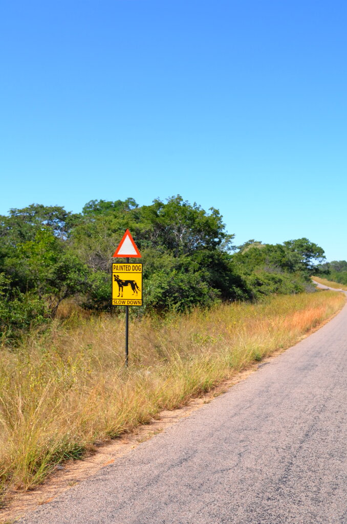
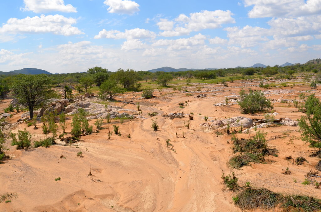
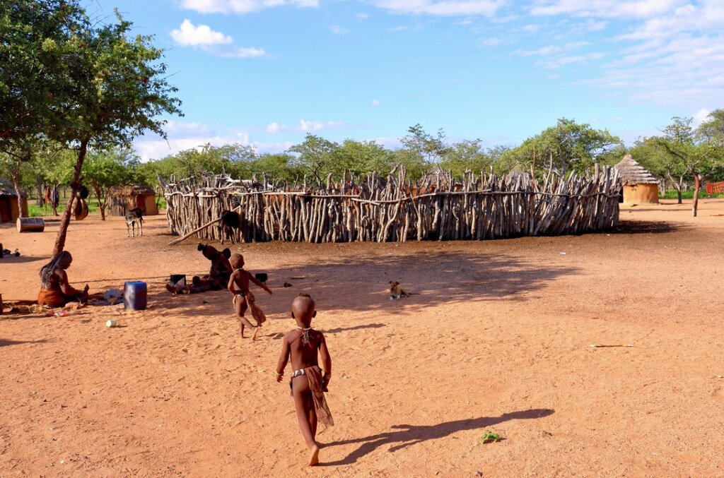
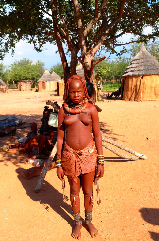
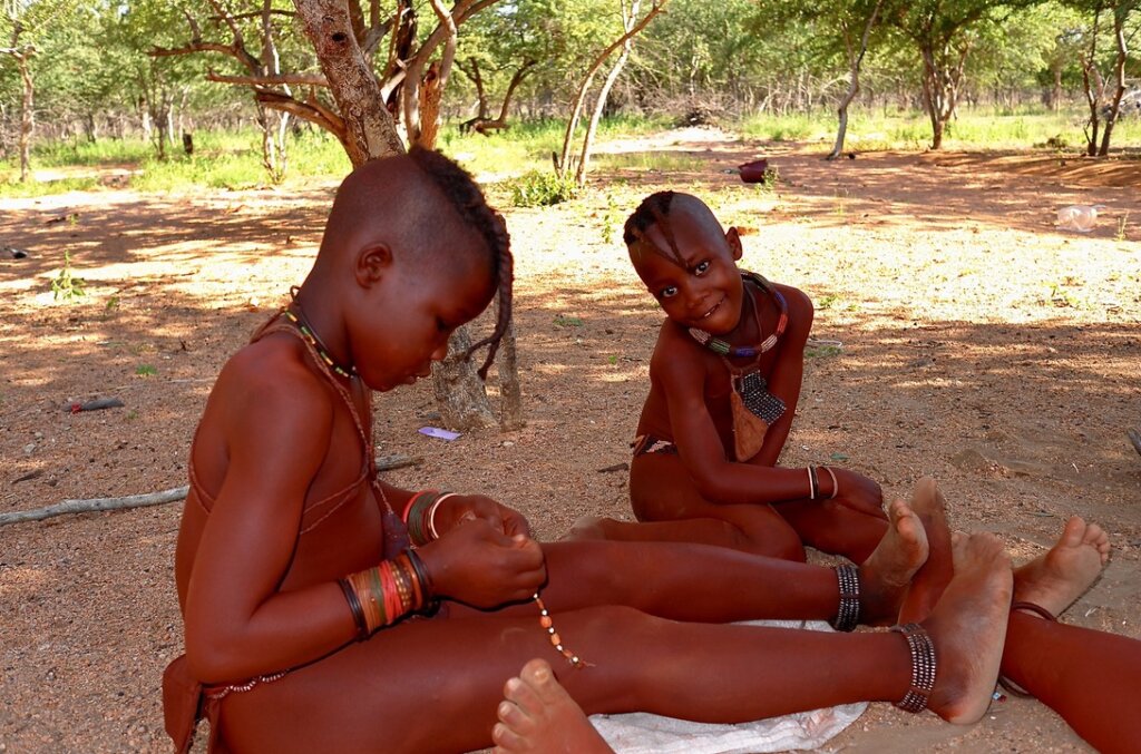
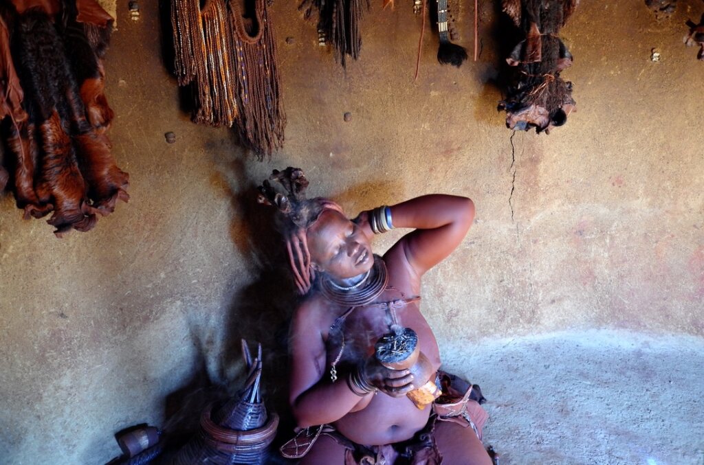
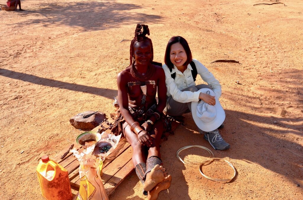
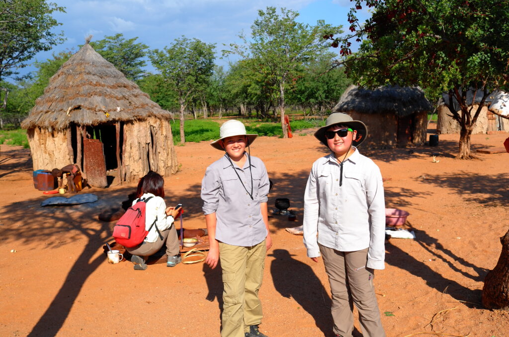
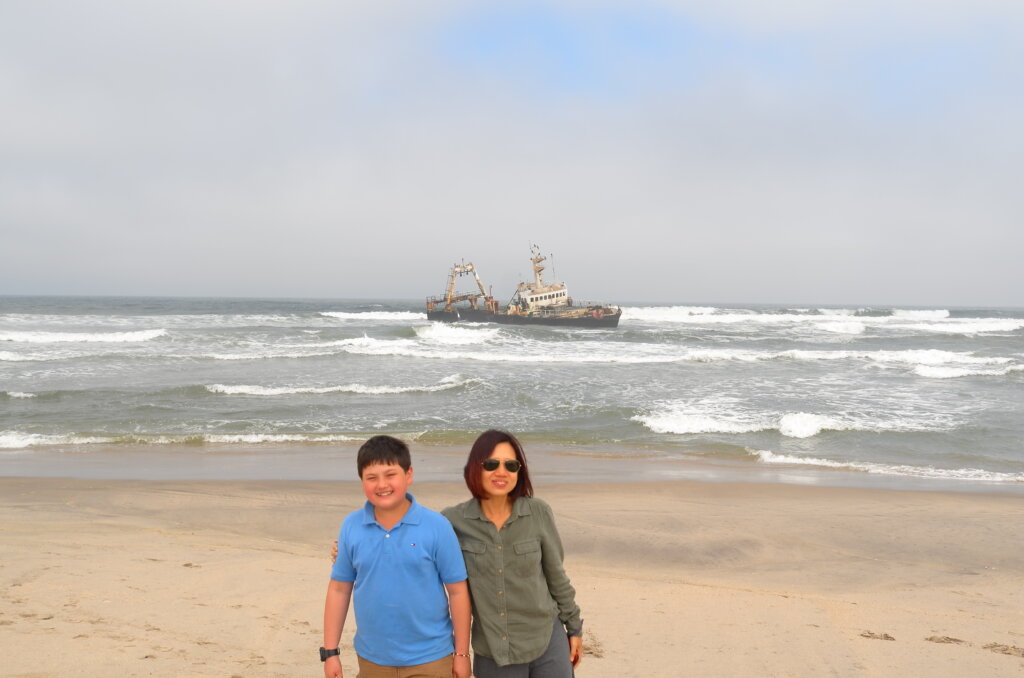
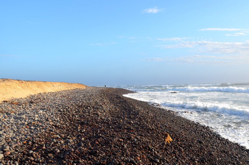
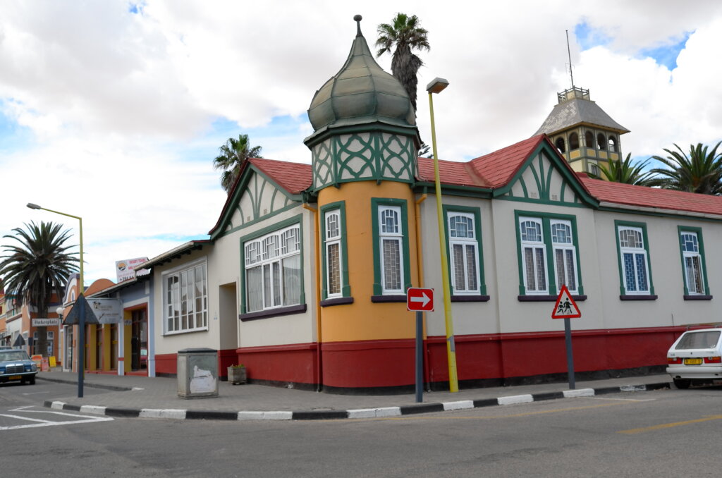
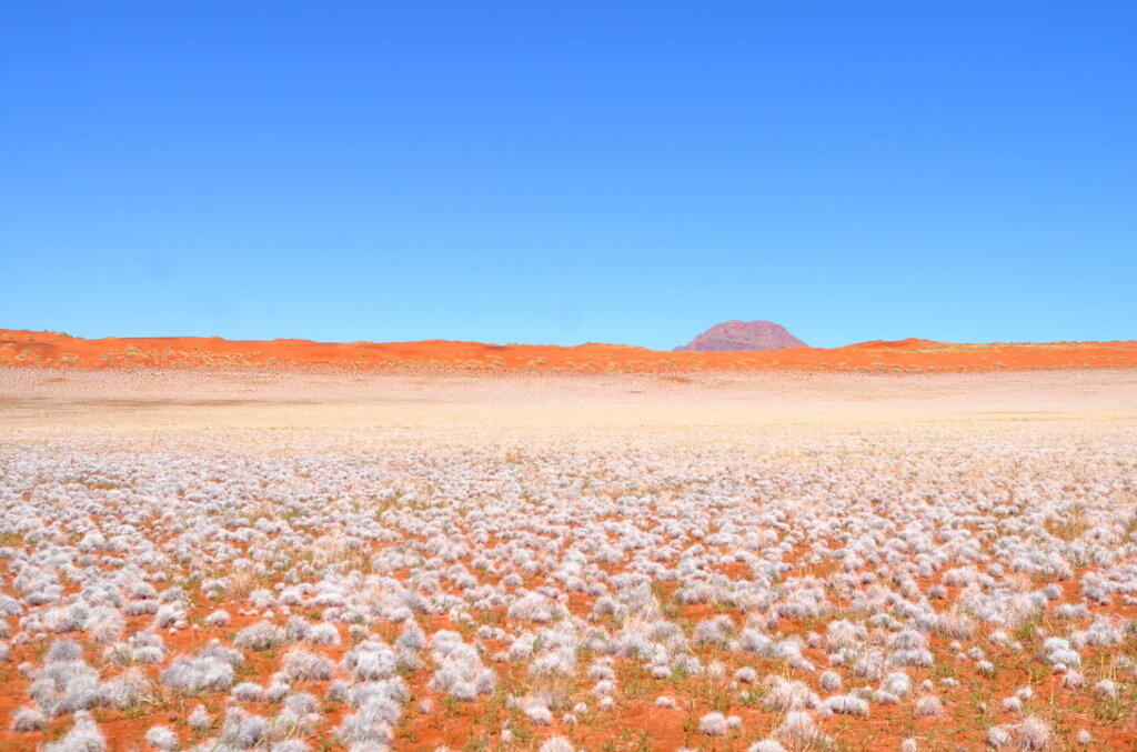
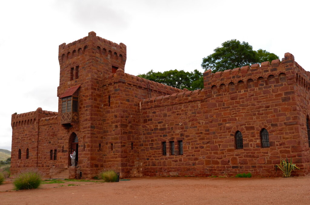
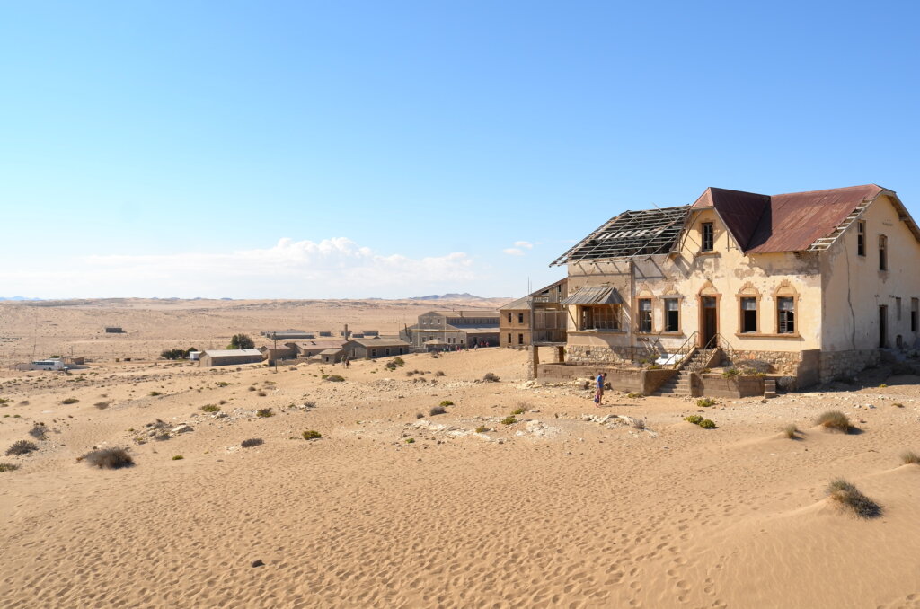
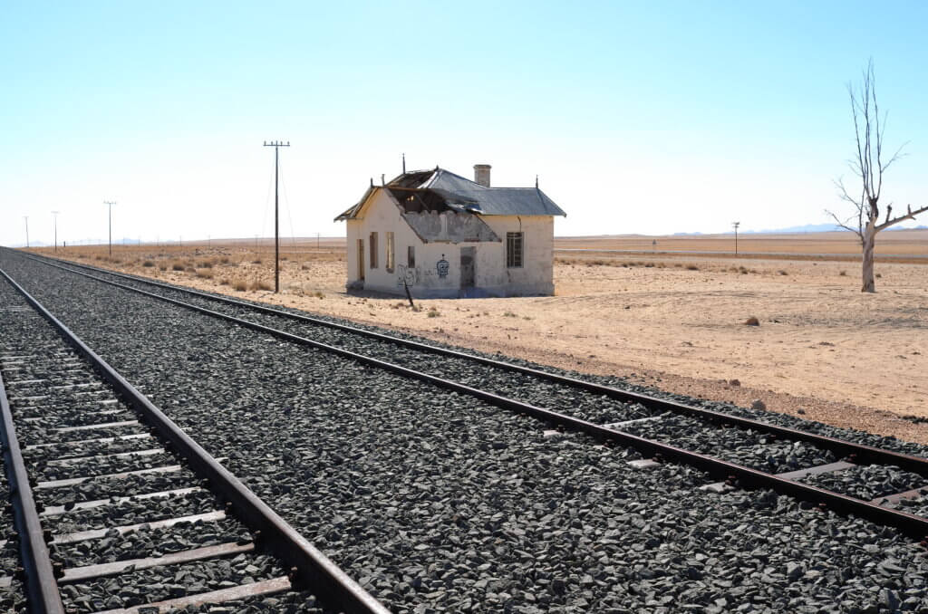
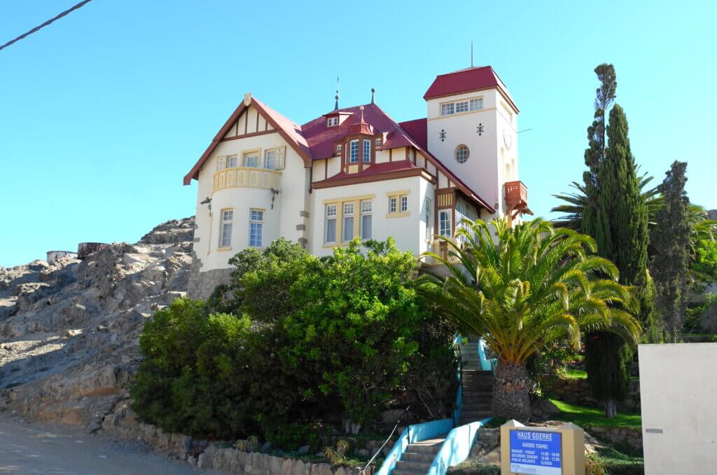
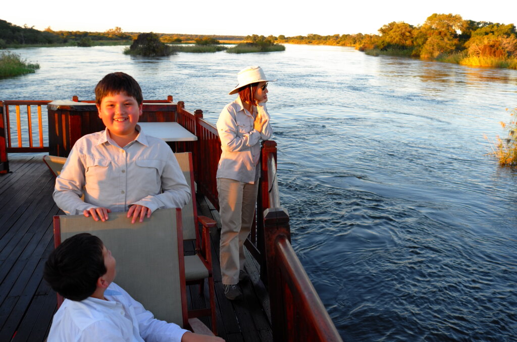
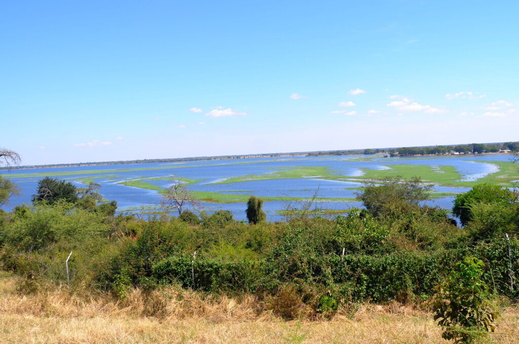
The pretty Cape Dutch and German neo-gothic houses are replaced by villages with traditional huts surrounded by thorn hedges. The large ring-fenced commercial farms give way to communal land with cattle roaming freely on the roads. Heavily laden ladies walk by the roadside carrying firewood or groceries on their heads. The ubiquitous yellow water container which we had not seen for months reappears. And, unlike in the rest of Namibia where all the “rivers” are in effect just dry riverbeds, here the rivers actually have water!

Real water in the rivers! Stopping in Divundu on the Caprivi Strip.

After a stop en route in Divundu on the Caprivi Strip, on 30th April, we drive the last 300km of the strip, travel a further 200km through three countries (Namibia, Botswana and  Zimbabwe) and finally reach Victoria Falls in Zimbabwe, having crossed two borders within a day.

Border post with a view: Okavango river seen from the Botswana border post.
driving through Chobe in Botswana, which is home to the world’s largest elephant herd

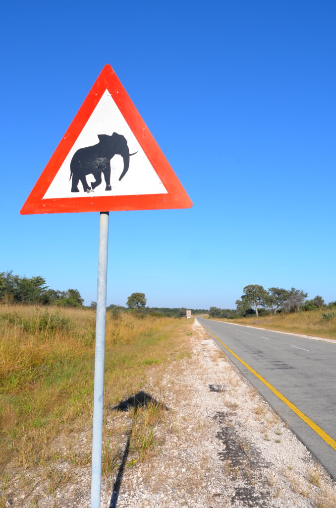
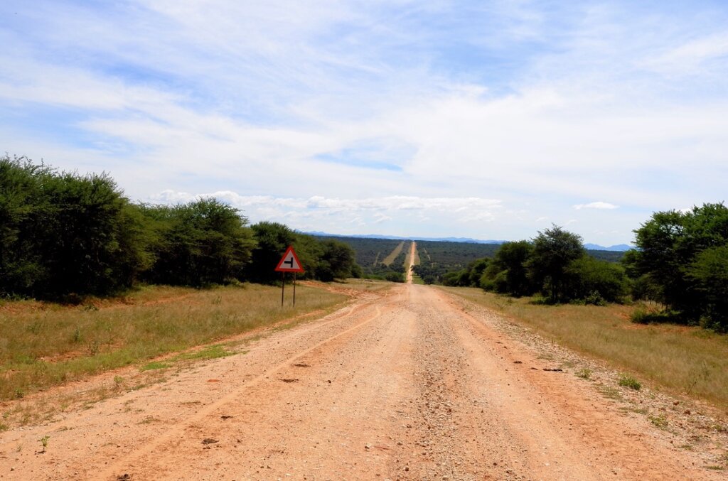
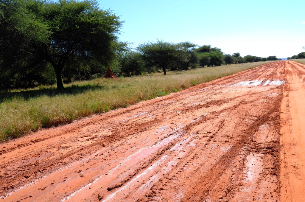
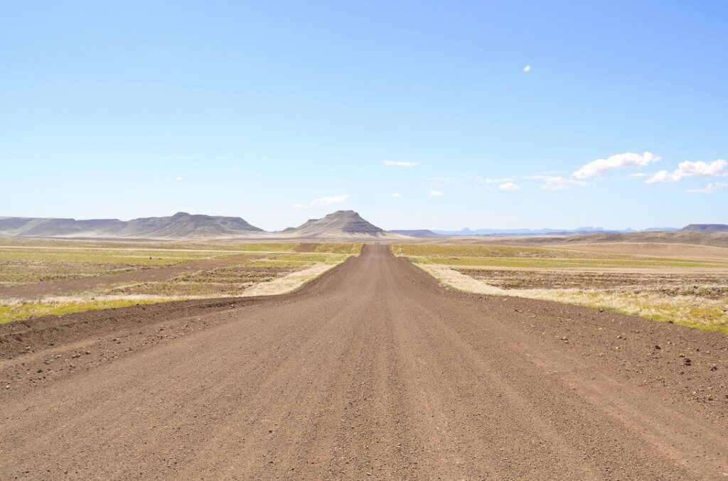
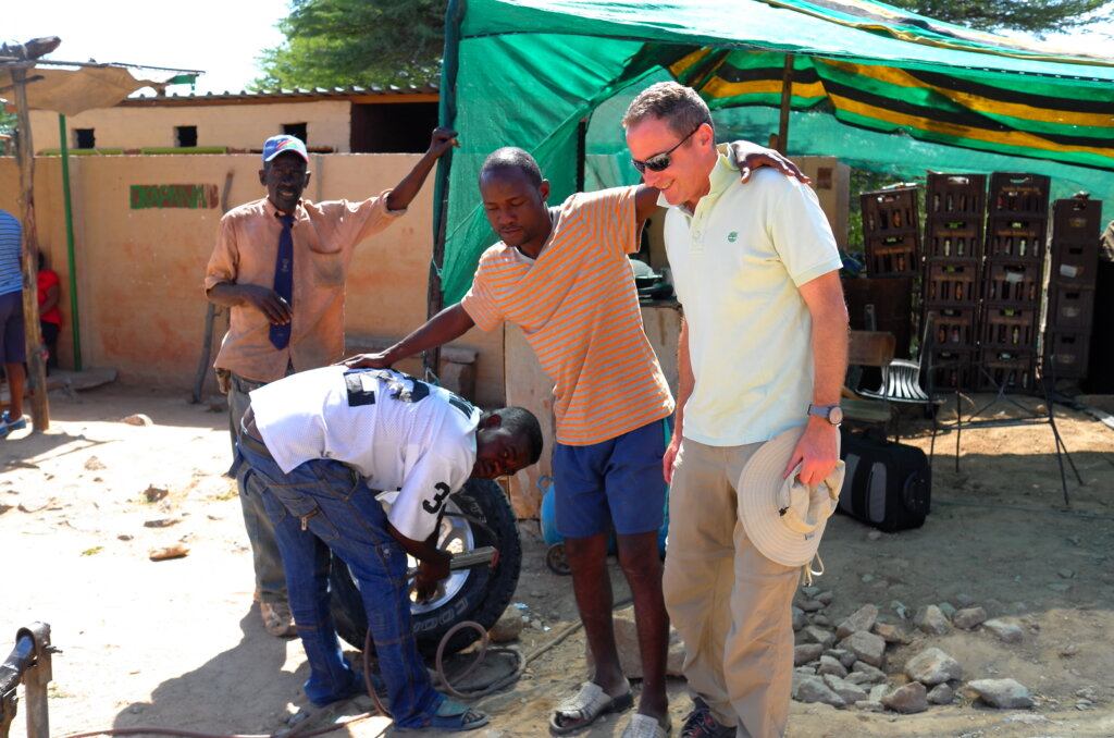
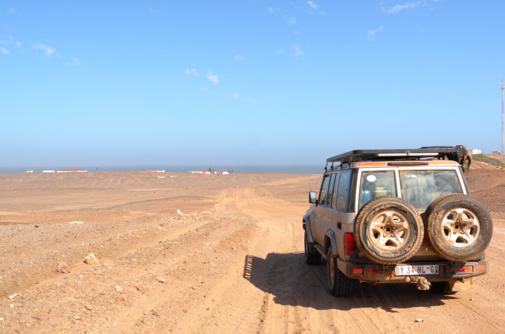
By the time we park our car at Vic Falls, we have driven close to 10,000km through southern Africa, had six tyre punctures, dealt with quite a few (mostly polite and friendly) border officials and had a couple of close cuts on treacherous Namibian roads.

in Zimbabwe, on the way to Victoria Falls

Namibian roads

Namibian roads reflect the environment which they travel through. Mostly gravel, dirt roads, dry river beds and, on the coast, a strange mixture of salt and gravel.

typical Namibian gravel road…
…which instantly turns to mud when it rains
cutting through the Namibian dreamscape
the consequences of gravel roads
Dry river bed. The actual river runs a few feet under the sand.
very occasionally, we come across asphalt, but we have to be careful to dodge the warthogs
But when the sky lights up at dusk, the roads no longer matter

Namibia: the Himba

The Himba are one of Nambia’s last remaining “primitive” tribes. They live in the Kaokoland region of Northern Namibia, near the Angolan border. A semi-nomadic tribe distinguished by the bright orange paste, a blend of ochre and butter, which they apply to their bodies and hair. The Himba live in small mobile settlements organized around a central kraal where they keep their cattle.

The Himba are one of the few tribes in the world who have adopted a bilateral descent system, which means that a child is a member of both her father’s and her mother’s clans. This is advantageous as it allows her to rely on two sets of families rather than a single family.

In the harsh semi-arid environment where they live, Himba custom decrees that only men are allowed to use water to wash. Women, once they reach puberty, may only wash by smoking themselves with a mixture of aromatic herbs and may never again use water.

One interesting fact about the Himbas is their perception of colour. The Himba language only counts four words to describe colour:

Zuzu: dark shades of green, blue, red, purple ;  Vapa: white and yellow ; Buru: some shades of green and blue;  Dambu: other shades of green, red and brown. 

As a result, the Himba have great difficulty in distinguishing between the colours within a grouping. Evidence to support the fact that language determines the way we think and perceive the world.

central kraal
the clay necklace around her neck will be broken once she marries
beading
washing with aromatic smoke
a chat with the doyenne
the shadows are getting longer

Namibia: journey to the end of the world

 It is a 380km drive up the Skeleton Coast on a desolate road hugging the Atlantic coastline to Terrace Bay which, literally, is at the End of the Road. Covered in fog most of the time, the Skeleton Coast is a graveyard of ships, littered with hundreds of shipwrecks and the remains of sailors who lost their way in the fog and got stranded on the coast. There is no “soft landing” from the icy Atlantic to the Namib desert. The waves lap the feet of the high sand dunes and for two hundred kilometers inland, there is no tree, plant or water. The sailors who survived drowning and made it to the shore had no chance of survival.

As we drive up the Skeleton Coast through fields of pale orange dunes, plains of sand so white it looks like snow and craggy hills, out of the corner of our eyes, we catch fleeting glances of the ghosts of sailors of old, wandering aimlessly along the shore. Every time we stop at a shipwreck, we get the eerie feeling of clammy hands on our shoulders.

Terrace Bay is a tiny settlement with a few rental bungalows and a permanent population of less than 20. It is the End of the World.

road to the end of the world
Eduard Bohlen, sank 1909
Zeila, stranded since 2008
South West Seal, sank 1976
only the ghosts of the shipwrecked to keep us company on the Skeleton Coast
The End of the Road: Terrace Bay in view
between the desert and the deep blue sea (at Terrace Bay)
the sun sets over the settlement of Terrace Bay

Namibia: Swakopmund

Swakopmund is another charming old German town on the Atlantic “skeleton coast”, grander than Luderitz, surrounded by desert and ship wrecks slowly sinking into the sands of the Namib. Elderly German couples stroll in the boulevards and greet us politely in High German or stop to ask whether they can help with directions.  They don’t make towns like that in Germany anymore! Which may explain why Swakopmund could be mistaken for a retirement home for Germans.

This is our last stop in civilization before we head back to the desert and the bush for the next two weeks and we take the opportunity to stock up, enjoy some air conditioning and window shop in the quaint boutiques. We even visit the only two Chinese restaurants in town. From tomorrow onwards, it’s back to kudu, impala, oryx, blue wildebeest and similar delicacies!

stopover at Solitaire on the way to Swakop
Germanic architecture, transplanted in the middle of the Namib
old German Imperial Railways building
busy street in Swakop
dune blasting just outside of town

Namibia: to the dead marsh

In another part of the Namib, we travel through a field of tall red sand dunes that light up against the deep blue sky, to reach Sossusvlei. A mixed Afrikaans and Nama word meaning “the dead-end marsh”, Sossusvlei is a shallow marshy patch, the only remnant of a long-dead river. It is a remote and atmospheric spot. We almost get lost in a sudden sandstorm trying to reach it.

strangely geometric dunes
the summit at last
fastest way down
lost in the Namib
Sossusvlei, the last remnants of a once fertile land

Namibia: lost in a painting

The Namib desert could have been an impressionist painting. A canvas full of imaginary shapes and colors expressing the artist’s emotions. After a few days spent in the desert, we cross the threshold and become part of that imaginary world. There we scale red dunes made of tangerine foam and sail on oceans of pale green grass. Bright turquoise tok tokkies scramble around us as our feet vanish in the red cotton on the ground. Herds of oryxes parade past us like a phalanx of Spartans, their long straight horns lined up like lances. And when the sun goes down, the mysterious Artist splashes gold over the clouds in one final stroke before he puts his brushes down for the night.

the Namib-Naukluft reserve
desert after the rain
digging for tok tokkies in the Namib-Naukluft reserve
one last splash of paint before He puts His brushes away

Namibia: journeys in the desert

On our way from Luderitz to the Namib-Naukluft reserve, about 350km away, we have the inevitable tyre puncture on those rough gravel roads. Our regular jack is too short to lift the high clearance Landcruiser on the sandy gravel road. Our high-lift jack breaks as we are in the process of lifting the car and now we are stranded on that deserted road.

It takes over an hour for the first vehicle to drive past and assist us with their jack. And a few minutes later, another vehicle (this is a positively crowded road by Namibian standards!) stops and joins in the rescue operation. With our rescuers, all Germans, displaying an almost genetically programmed technical prowess, we soon change the tyre and are on our way.

We reach the small Sinclair farm in the evening, driving through a freak storm which pours buckets of water on us, turning the roads into mud.  At Sinclair, a large cattle and sheep farm which thrives quite illogically in the middle of the desert, we are hosted to a hearty dinner by our host Hannelore, a third generation German-Namibian.  The next day we reach our camp in the middle Namib-Naukluft reserve.

entering the (clearly underpopulated) Maltahoehe district
it takes an army to change a tyre in the Namib
freak storm on the way to Sinclair’s
impromptu picnic
Duwisib castle, built by eccentric aristocrat, baron Hans Heinrich von Wolf in 1909…in the middle of the desert
finally pampered after a rough journey

Namibia: ghosts in the Namib

The ghost town of Kolmanskop, some 15km inland from Luderitz, appears seemingly out of thin air. Grand old mansions being sucked into the sands of the Namib. The old railway track slowly sinking into the earth. Springboks living in the ruins of the old general store. With Namibia’s hot, dry climate, the ancient buildings stay well preserved. And though the desert has been swallowing them up for the past 50 years, it feels like a biblical cataclysm descended upon Kolmanskop just days ago, devouring it for its sins.

At the beginning of the 20th century, when diamonds were first discovered in the area, Kolmanskop sprouted out of the desert as if by an act of spontaneous creation. In its heyday, it was one of Africa’s wealthiest towns, full of intricate Germanic mansions, a recreation club, a railway station, a church, South West Africa’s best hospital and the first to be equipped with a scanner. The town supposedly had more millionaires per capita than anywhere else in the world.

And then, in the 1950’s, the diamonds started to run out and the town was slowly abandoned and returned to the desert. Today, we can walk the streets and Kolmanskop and from the corner of our eyes, still make out the spectral outline of the grand boulevards of old and, perhaps even, catch a glimpse of the old town’s ghosts, those who never struck a diamond vein and who still linger, hoping that their luck will finally turn.

the desert is slowly reclaiming Kolmanskop
nobody home
the old town gymnasium
sand, sand everywhere

Namibia: das Reich in Afrika

Though German South West Africa (as Namibia was then known) was a German colony for a mere 30 years, between 1884 and 1915, German influence has strangely lingered. German is still widely spoken throughout the country. Namibia’s small towns with spotlessly clean streets, neat rows of houses and shops and restaurants which all shut down for the weekend on Saturday at 1pm feel like provincial Germany.

At the end of a 300km road which crosses the desolation which is the Namib desert, sleeps Luderitz, wedged between the Atlantic ocean and the desert. A town which briefly boomed during the diamond rush in the early 20th century, it has remained frozen in time for a hundred years. Its quaint streets, colonial German architecture and colorful houses sit in stark contrast with the desert on its doorstep. Out of place and anachronistic, Luderitz endures, beyond logic.

When I went for a run through the town this Saturday evening, it was eerily quiet, as if it had been suddenly abandoned. I did not see a car or a person in the streets.

abandoned German colonial railway station on the way to Luderitz
wedged between desert and ocean
only the ghosts of Bismarck and the Kaiser roam the streets of Luderitz
Goerke Haus, built by a German diamond millionaire in 1910 and once the town’s most luxurious dwelling
View from the Nest hotel, where we spend a few nights. The Felsenkirche, whose altar was donated by the Kaiser in 1911, is in the background.